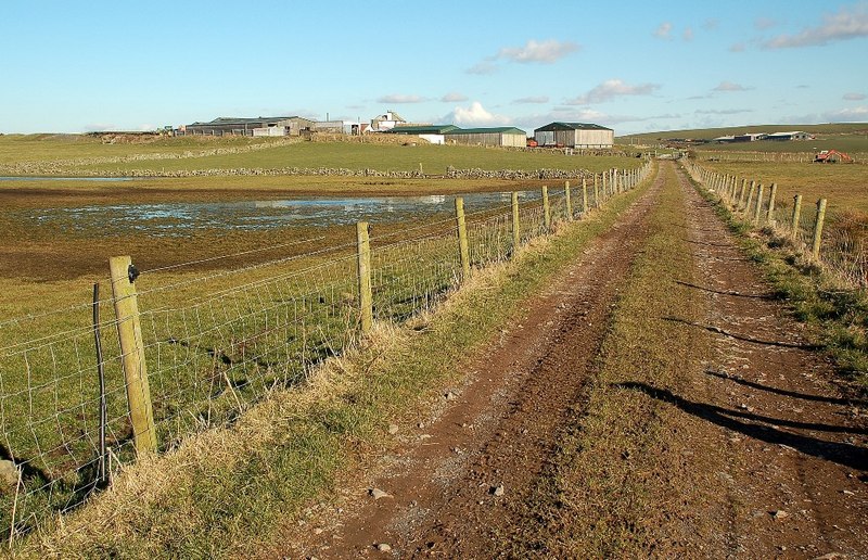
High Auchneel is a farm located in the remote north-west of the Scottish county of Dumfries and Galloway—historically the county of Wigtownshire—and the parish of Leswalt. According to Companies House[1] records, it is still operated as a cattle farm.
The Ordnance Survey Name Books for Wigtownshire (1845-1849), describe High Auchneel as:
A good farm house and out houses slated and in good repair with a farm attached of 240 acres of arable land. Occupied by Alexander Cochrane. The property of Sir Andrew Agnew. This name Seems be a derivative of the two Gaelic words Achadh a field and Aol lime ore Achadh n’ aol or The Limefield.
Parish of Leswalt, plan 9b, page 3, “High Auchneel”[2]
High Auchneel Hillfort
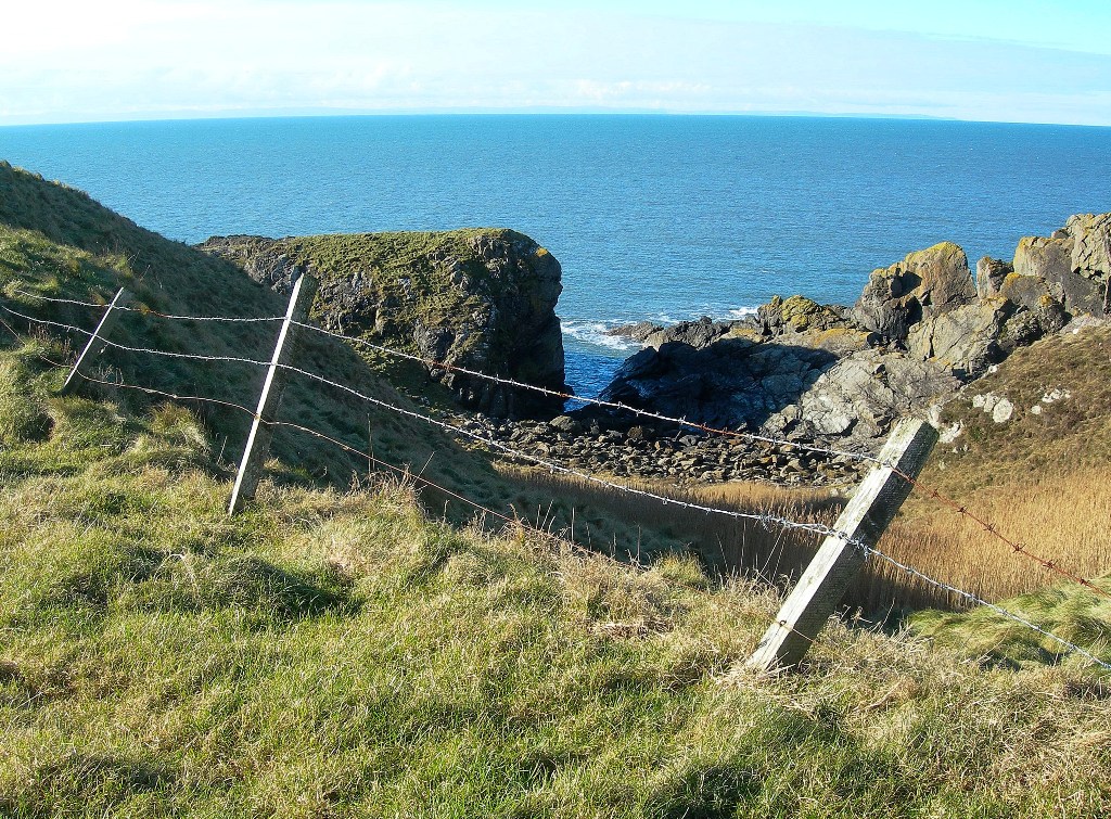
To the west of the farm—located atop the cliffs forming the far western border of the county of Dumfries and Galloway—is a prehistoric hillfort[4]. No recorded excavation of the fort has been undertaken, therefore little is known of its origins.
In his “Private journal of a wandering Antiquary”, Alexandaer Curle—secretary of the Royal Commission on the Ancient and Historical Monuments of Scotland (RCAHMS) between 1908 and 1913—wrote about High Auchneel fort:
On the shore about 1/2 m WSW of High Auchneel farm is a small promontory fort formed by a single trench some 18′ broad and 5′ deep drawn across the neck which has a width of about 30′. The top of the promontory within this defence is a fairly level area some 80′ in length by 50′ in breadth with a rapid fall beyond to a point of jagged rocks rising some 20′ to 30′ above the sea. The flanks of the fort are unscalable cliffs some 50′ to 60′ in height.
Alexandaer Curle[5]
High Auchneel Tile Works
Located just to the north-west of the farm were a Tile Works[7]. Marked as disused by the time of the 1892-3 Ordnance Survey[Figure 1], we know they were functioning in 1851, as Samuel Vernon—son of Margaret Dickson—was enumerated living at High Auchneel with an occupation of Tile Maker.
The works appear to have still been functioning until at least 1856, where they are mentioned in a “Plan of the Farm of High Auchneel”[8]. An earlier Ordnance Survey map of the area, surveyed in 1847, shows no sign of the tile works existing[Figure 4].
Ancestors
- Samuel Vernon (1820-Unknown) resided here in 1851
- Margaret Dickson (1780-Unknown) resided here in 1851
Sources
[1] Find and update company information. (2024, June 5). Retrieved from Companies House: https://find-and-update.company-information.service.gov.uk/
[2] OS1/35/16/3. (2024, June 5). Retrieved from ScotlandsPlaces: https://scotlandsplaces.gov.uk/digital-volumes/ordnance-survey-name-books/wigtownshire-os-name-books-1845-1849/wigtownshire-volume-16/3
[3] FarmTrack at High Auchneel. (2024, June 5). Retrieved from Wikimedia Commons: https://commons.wikimedia.org/wiki/File:FarmTrack_at_High_Auchneel_-_geograph.org.uk_-_1708699.jpg
[4] Atlas of Hillforts: High Auchneel. (2024, June 5). Retrieved from University of Oxford: https://hillforts.arch.ox.ac.uk/records/SC0127.html
[5] Curle Diary 08. (2022, June 5). Retrieved from ScotlandsPlaces: https://scotlandsplaces.gov.uk/digital-volumes/rcahms-archives/curle-diaries/curle-diary-08/12
[6] Ancient Fort Site at Strool Bay. (2024, June 5). Retrieved from Wikimedia Commons: https://commons.wikimedia.org/wiki/File:Ancient_Fort_Site_at_Strool_Bay_-_geograph.org.uk_-_1708726.jpg
[7] High Auchneel Tileworks, Leswalt, Stranraer, Wigtownshire. (2024, June 5). Retrieved from Scotland's Brick and Tile Manufacturing Industry: https://www.scottishbrickhistory.co.uk/high-auchneel-tileworks-leswalt-stranraer-wigtownshire
[8] Plan of the farm of High Auchneel, Wigtownshire. (2024, June 5). Retrieved from National Records of Scotland: https://catalogue.nrscotland.gov.uk/nrsonlinecatalogue/details.aspx?reference=RHP3767&